

Adding an administrative boundary to satellite imagery timelapse using the interactive #streamlit web app. You can provide your own admin boundary
App: streamlit.gishub.org
Demo: youtu.be
GitHub: github.com
#geemap #EarthEngine #eochat #dataviz
App: streamlit.gishub.org
Demo: youtu.be
GitHub: github.com
#geemap #EarthEngine #eochat #dataviz
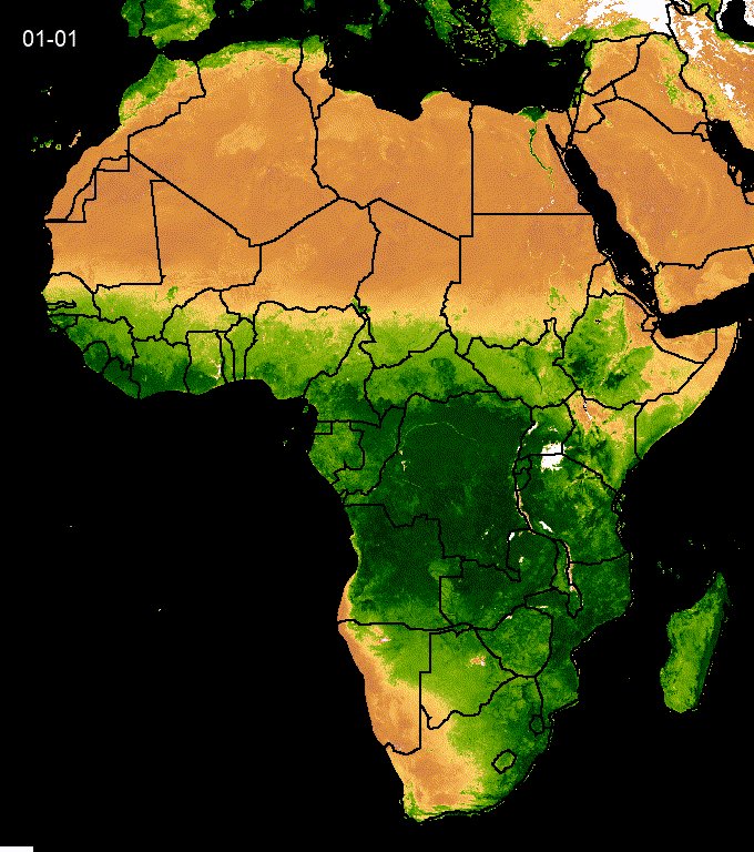
You can simply provide an HTTP URL to a GeoJSON file or ee.FeatureCollection asset id to be used as an administrative boundary on the timelapse.
#geemap #EarthEngine #streamlit #geospatial
#geemap #EarthEngine #streamlit #geospatial

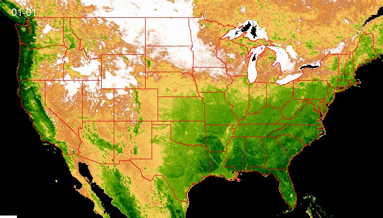
#MODIS NDVI timelapse with U.S. state boundary
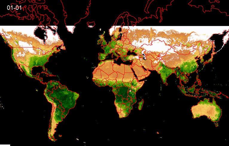
#MODIS NDVI at the global scale
Loading suggestions...