

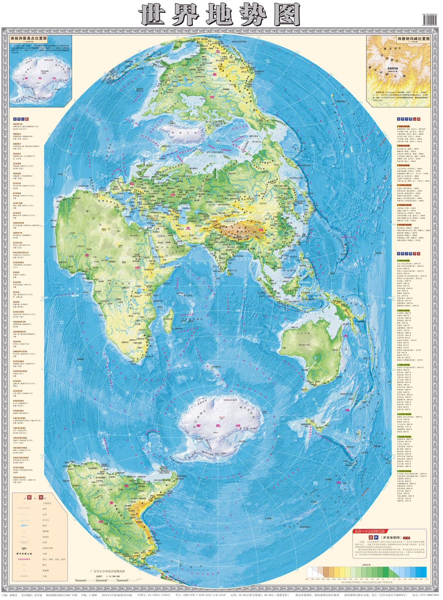
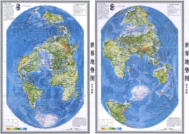
Chinese World Map
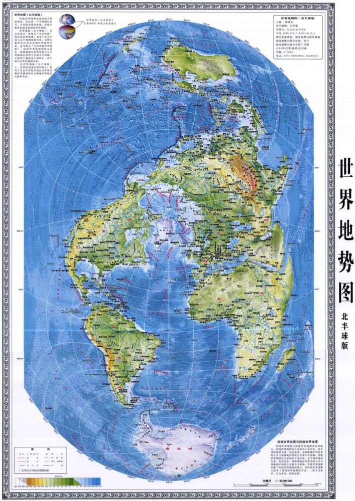
2nd version of the Chinese “vertical” World Map centered on Northern Hemisphere
Chinese “vertical” World Map is designed by He Xiaoguang 郝晓光 of Chinese Academy of Sciences 中科院.
He spend 10 years trying to get the maps published, finally got it picked up by publisher in 2014. You can search 竖版世界地图 on Taobao to purchase.
He spend 10 years trying to get the maps published, finally got it picked up by publisher in 2014. You can search 竖版世界地图 on Taobao to purchase.

For 10 yrs, no publisher interested in He Xiaoguang’s vertical map.
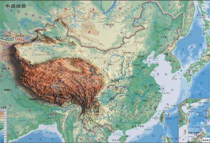
2012 Sansha City established to administer South China Sea islands. SCS don’t fit on traditional Chinese maps, had to be displayed in a separate box.
Hunan map publishing house then contacted He Xiaoguang
2012 Sansha City established to administer South China Sea islands. SCS don’t fit on traditional Chinese maps, had to be displayed in a separate box.
Hunan map publishing house then contacted He Xiaoguang
He Xiaoguang like to emphasize that US and China are actually a lot physically closer than traditional map perspective suggests because Earth is round.
He says “US is North of China, not East!”
That’s why planes fly over arctic frm US to reach China.
He says “US is North of China, not East!”
That’s why planes fly over arctic frm US to reach China.
Loading suggestions...