
#30DayMapChallenge
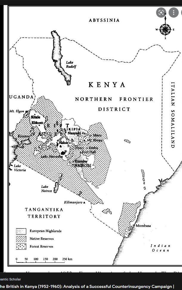
Colonial map of Kenya.
British colonialists forcefully took over the most fertile parts of Kenya including the Uasin Gishu/Trans Nzoia plateau, Laikipia and the fertile Rift floor (Nakuru/Naivasha).
A thread on colonial land use and its legacy.
Colonial map of Kenya.
British colonialists forcefully took over the most fertile parts of Kenya including the Uasin Gishu/Trans Nzoia plateau, Laikipia and the fertile Rift floor (Nakuru/Naivasha).
A thread on colonial land use and its legacy.


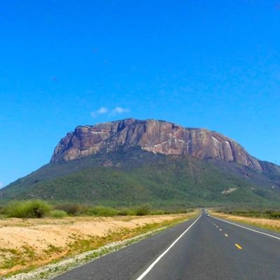
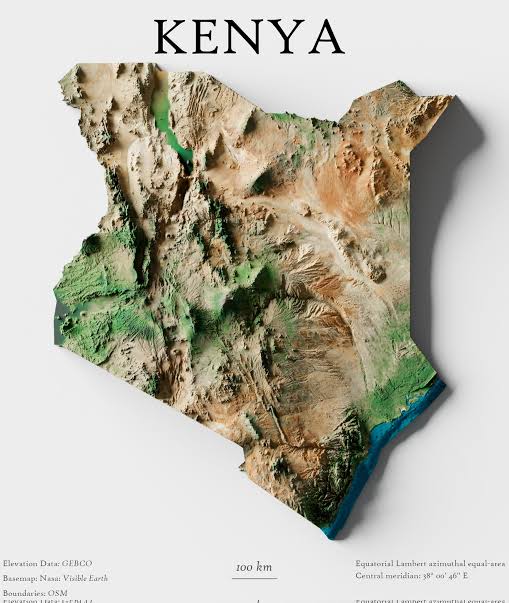
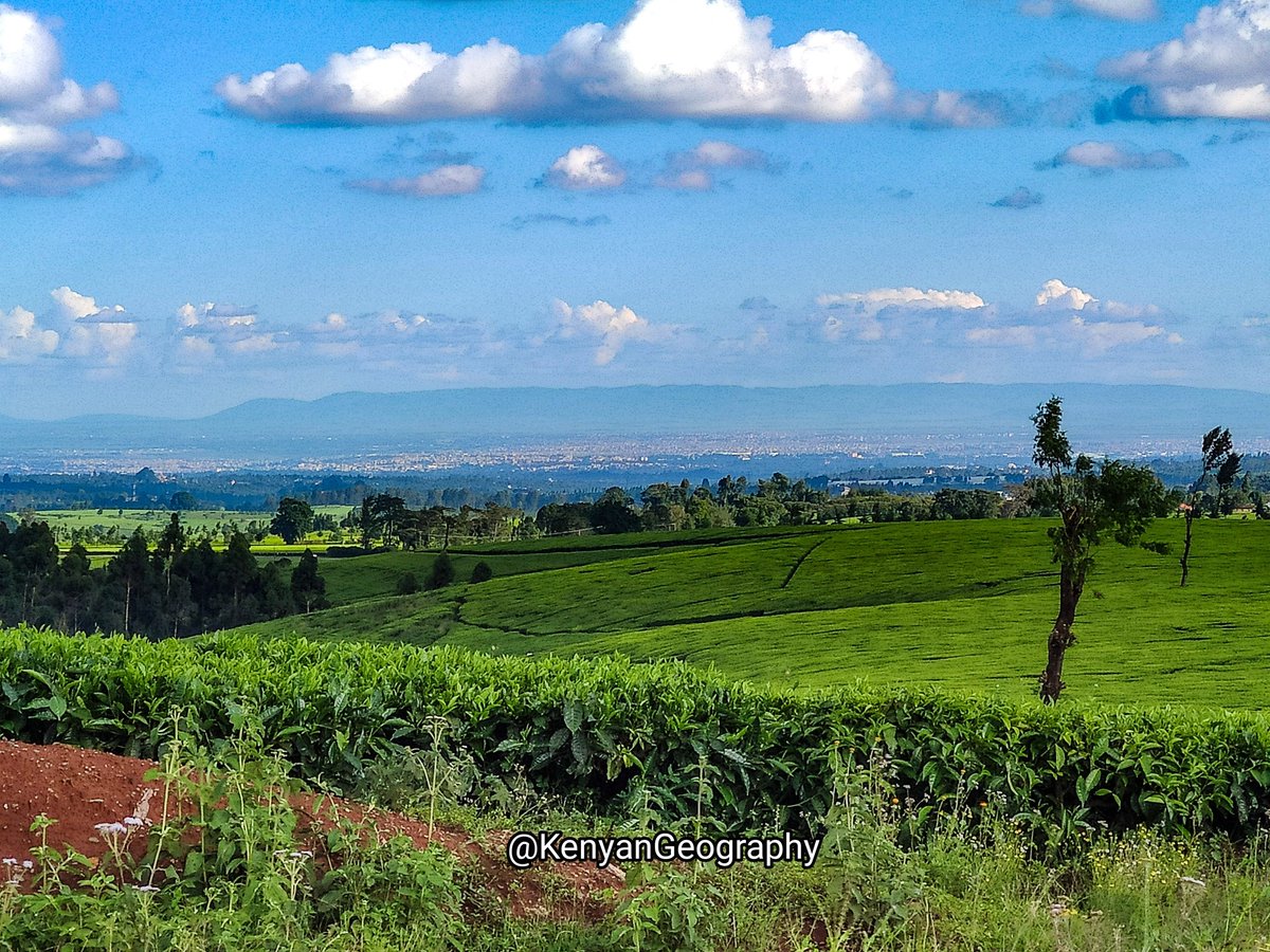
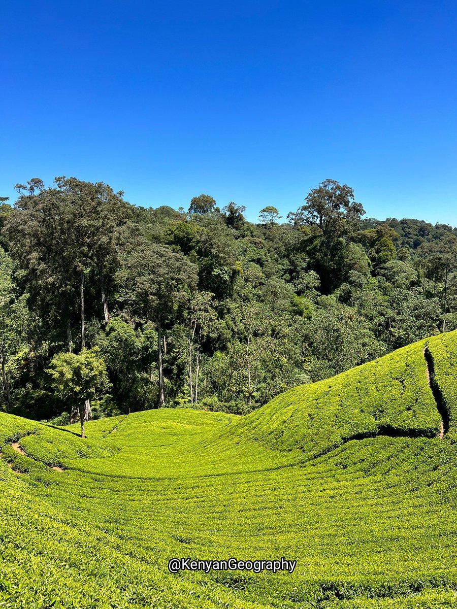
Kenya has some of the most productive land in the world due to the Rift valley. The highlands East and West of the Rift, the mid-section of the valley floor and plateaus on either side of the valley have the altitude and precipitation for large scale agricultural production.


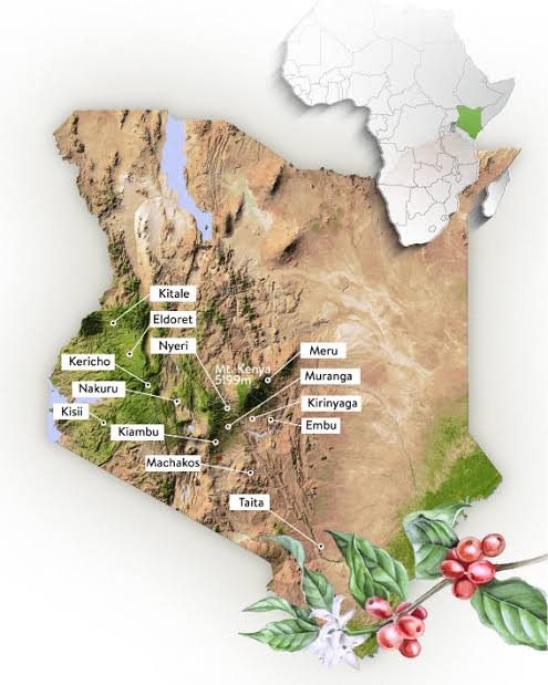
British colonialists quickly realized this and set about violently evicting Kenyans from these most fertile lands. They set up large plantations and introduced exotic cash crops like tea, coffee & pyrethrum. The altitude, climate and cheap/forced labour favoured mass production.
To date, Kenya remains one of the largest tea and coffee producers in the world. The land alienated from Kenyans to set up these large plantations was sold to multinationals and private companies while some remain in the hands of 3rd/4th generation of colonial 'settlers.'
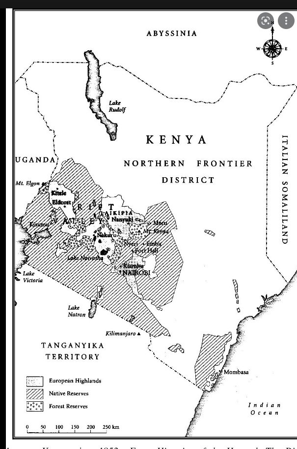
Kenyans were restricted to 'native reserves'.. relatively less productive areas where elevation was not as high with lower rains or fewer rivers. Subsistence farming was practised here and to date, these are the most densely populated areas of Kenya with small, private farms.

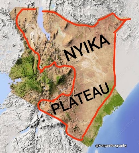
The lowest plains to the East and North of Kenya was sparsely populated and limited in agricultural potential. Colonialists left the pastoralists in NFD to their own devices, barely setting up any infrastructure for colonial administration and disconnecting it from rest of Kenya.


The legacy of minimal administration, infrastructure development and alienation from the rest of Kenya continued until the Kibaki years and the advent of devolution. Most of the land in former NFD is communally owned with a pastoral economy supported by rivers from Rift highlands

Forests along the edge of escarpments and on mountains were set up as forest reserves and despite encroachment and deforestation, the forests blocks of the colonial era are still in place including Mau/Ravine/Cherangany in the West and Nyandarua/Mt. Kenya in the East.

In summary, land use in Kenya from colonial times to date has been influenced by geography. The elevation, terrain, climate and presence of rivers all affected agricultural production which was and remains the main economic activity in Kenya.


Loading suggestions...