

Lots* of downloads of the new local GIS data for every local authority in Great Britain so far - but you can also download the whole lot and filter by area, region or country too - plus there are style files for quick styling
automaticknowledge.org
*many many GBs of GB data
automaticknowledge.org
*many many GBs of GB data
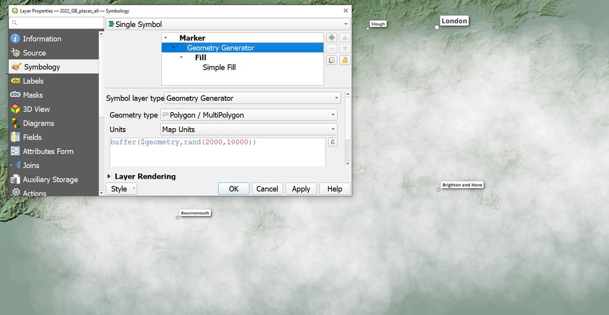
the backdrop to the graphic above is buildings turned into clouds in QGIS, but which area is the big cloud in the middle?
these examples use two of the full Great Britain layers
- the Terrain 50 full Great Britain layer
- the Great Britain places layer
- a copy of the places layer, styled as clouds
- the Terrain 50 full Great Britain layer
- the Great Britain places layer
- a copy of the places layer, styled as clouds
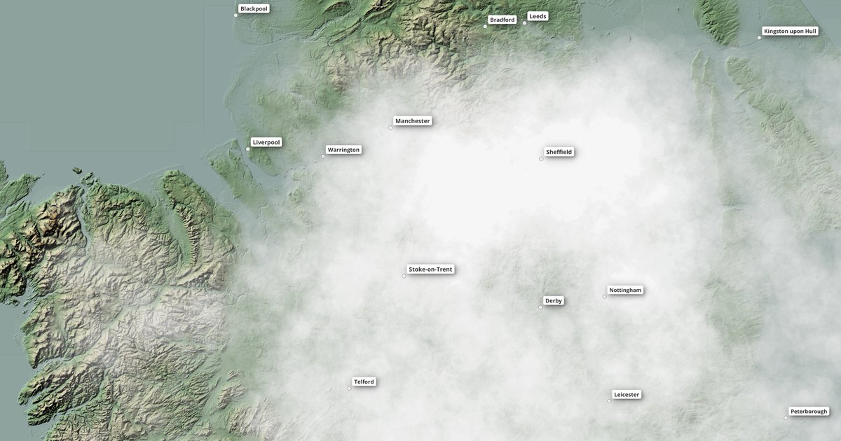
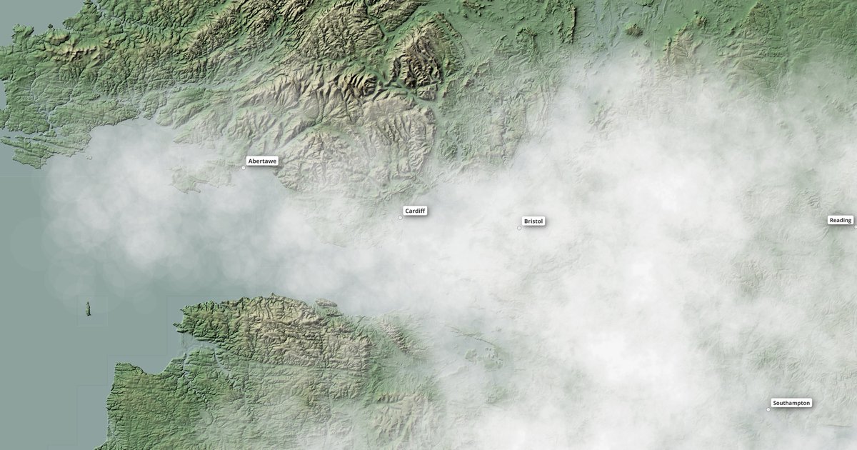
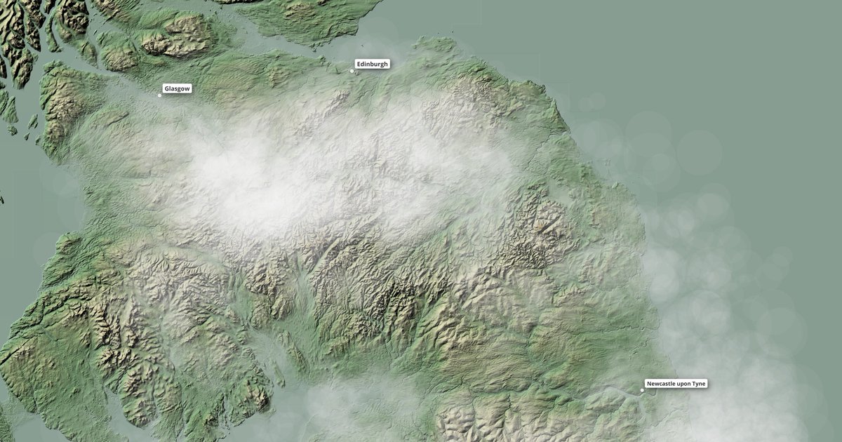
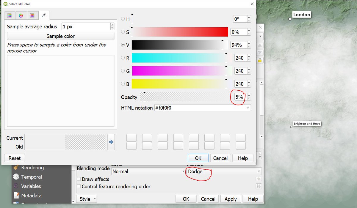
the fake clouds style file is in the web folder now too and is a bit of geometry generator on the places layer plus a few style tricks - edit the style file yourself to tweak the settings
automaticknowledge.org
automaticknowledge.org

then if you want to melt all the earth on ice and see what it would look like in Great Britain you can do that easily too with the full Terrain 50 layer and a bit of styling (and now maybe I'll move to Birmingham just in case)

Loading suggestions...